


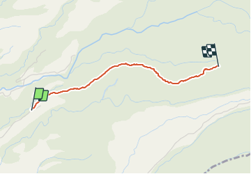

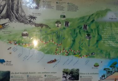
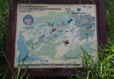
3,6 km | 7,2 km-effort

Gebruiker GUIDE


Gratisgps-wandelapplicatie
 SityTrail
IGN / Geografische instituten
SityTrail World
De wereld gaat voor u open
Tocht Stappen van 3,1 km beschikbaar op Martinique, Onbekend, Le Prêcheur. Deze tocht wordt voorgesteld door Lamartiniere.


Stappen
Stappen
Stappen
Stappen
Stappen
Stappen

Stappen
Stappen
Stappen
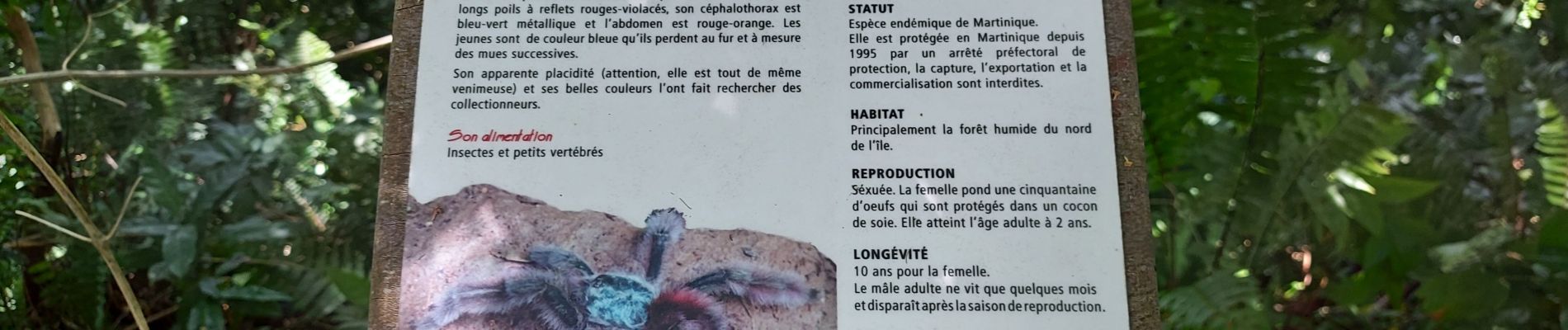
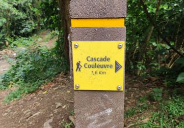
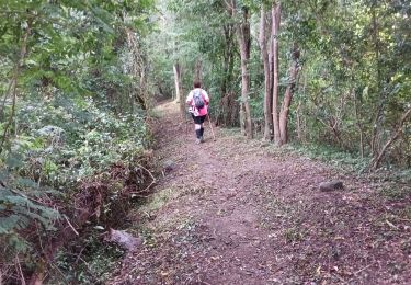
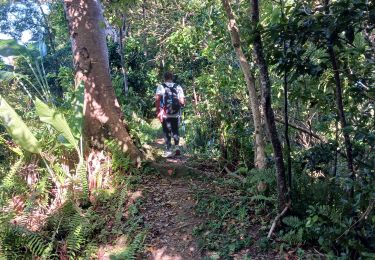
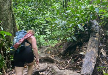
Visite effectuée sur le sentier avec effectifs Cap Nord pour des relevées topographiques. Actuellement sentier peu praticable en raison de l'encombrement de la végétation, arbres couchés, passages délicats, ect..... Attendre le nettoyage avant de vous lancer. Autre solution, prévoir un très bon coutelas. et de bons bras.